A level 4 fixed-base flight training device developed by the Federal Aviation Administration will play a part in a National Centre for Atmospheric Research (NCAR) project to boost safety for transoceanic flights.
The FAA contribution - primarily geared towards next-generation air transport system (NextGen) studies later this year - is under the banner of "weather technology in the cockpit" and is intended to determine the most cost-effective and usable methods of bringing satellite-linked severe weather data to airline pilots in remote ocean regions.
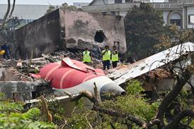
Although NCAR has been studying and testing methods of getting satellite-based strategic weather data to pilots since 2000, the June 2009 crash of Air France flight 447 over the South Atlantic on a flight from Brazil to Paris added urgency to the need for a solution.
Little is known about the cause of the crash, because the flight data and cockpit voice recorders have been missing, but an NCAR reconstruction of satellite weather data in the intertropical convergence zone where the accident happened revealed an area of extreme convection in the flightpath. "Deep convection was clearly present and, with sufficient warning, the pilot could have diverted and thus avoided the area of cloud top heights in excess of 40,000ft [12,200m]," says NCAR.
Although the Airbus A330 did carry weather radar, the equipment sometimes cannot penetrate the leading edge of the convection, highlighting the need for satellite weather products. "The pilot could have thought it was clear on the other side," says Tenny Lindholm, manager of aviation projects for NCAR.
Work on such a product preceded the Air France accident by several years. Lindholm says NCAR worked with United Airlines for five years to bring satellite weather to widebody crews flying from the USA to New Zealand and Australia.
"International carriers in the USA were interested in uplinked real-time weather to flightdecks for long flights, where fuel carry doesn't allow a lot of deviating around weather," says Lindholm. "They would depart [Los Angeles] for Sydney and by the time they'd get there, the weather would be 10h old."
What NCAR developed was a way to use the thermal line printers already on the flightdeck for the aircraft communications addressing and reporting system (ACARS) to produce a character-based graphic of severe weather at 30,000ft and 40,000ft in the aircraft's path over the coming 2h window.
Lindholm says the new study is designed to "explore a little more from the human factors standpoint" how pilots can best use the data. "We will use the simulator to sit and watch," he says. "We are hoping to learn a lot more about how we would do uplink of weather before we would put an operational system in place."
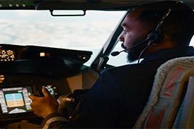
The forthcoming simulations at the FAA's NextGen integration and evaluation capability (NIEC) laboratory will use an Airbus A320 cockpit with actual sidestick, rudder pedals, flight management system and ACARS thermal printer, but with reconfigurable displays that enable the user to model other avionics and hardware via touchscreen controls.
A class 2 electronic flight bag will also be used to display colour graphical weather data. Built from commercial off-the-shelf equipment, the simulator uses Microsoft flight simulator for its graphics driver.
With the character-based weather display, aircraft can use the ACARS printer already on board for weather alerts. "Pilots like pretty displays and aren't happy about character displays because it's not pretty," says Lindholm. "Is it good enough, though?"
This year's one-week simulation effort will include at least two airline crews flying simulated 4h moonless night missions from Miami to Lima, Peru, crossing the intertropical convergence zone "where we see a lot of intense convection year round", says Lindholm.
Baseline simulations, including two weather events per flight, will use traditional methods, including pre-flight weather combined with communication to dispatchers over ACARS. Other simulations would provide the pilots with various graphical weather updates during the flight, including convection alerts.
"We are creating case studies at NCAR to ingest into the NIEC mission computer so it will look realistic on airborne radar as well as on uplink picture to the EFB," says Lindholm. "We will correlate the airborne weather radar with uplink of satellite data that shows weather well beyond the 150-180nm [280-330km] range of radar. Radar is susceptible to scattering if storms are intense. The crew may not see what is beyond leading edge due to attenuation of the signal. They need a strategic view."
David Learmount blogs on operations and safety issues: Learmount
Source: Flight International

